

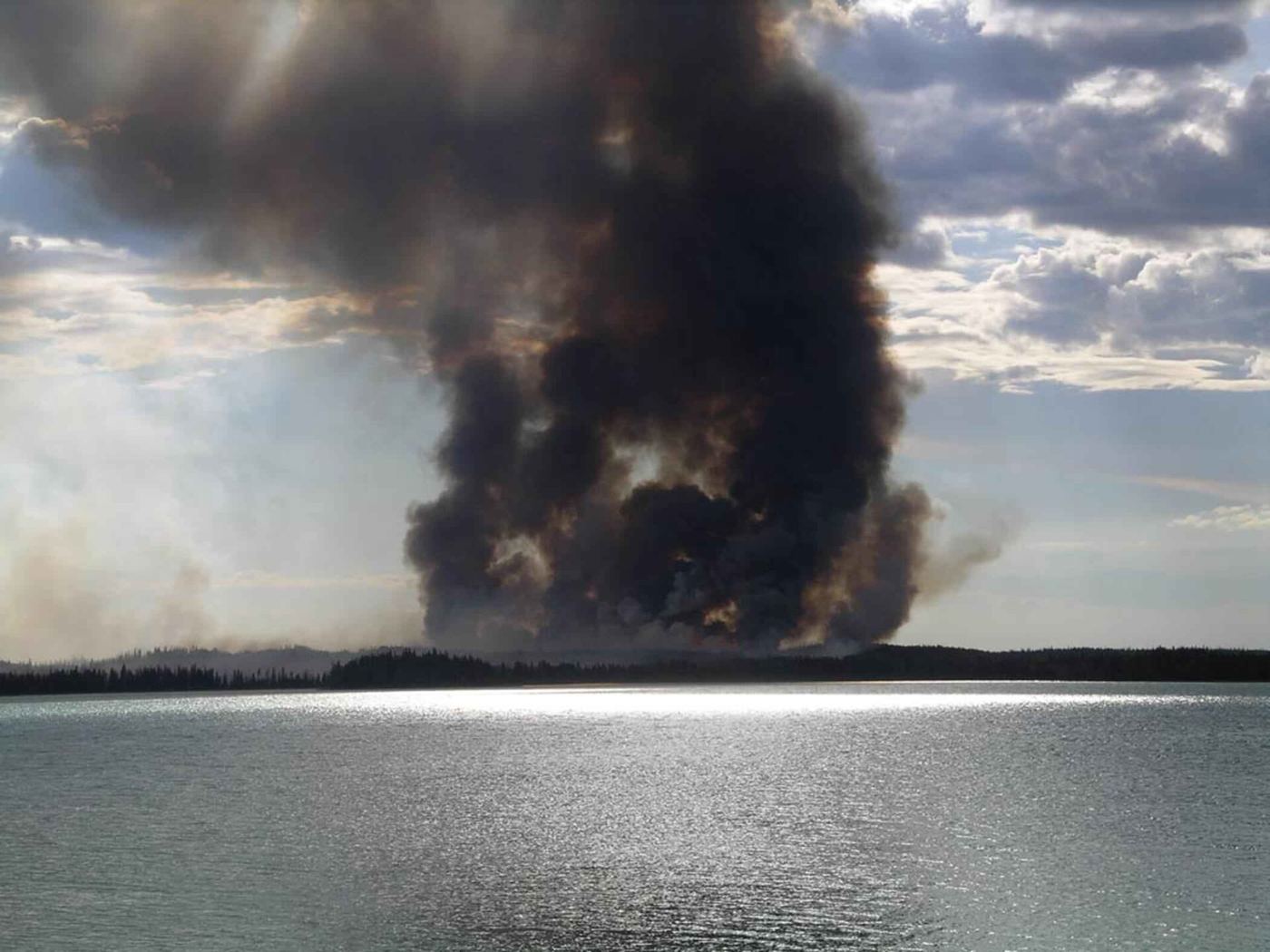
The first hour of a wildfire decides its story. A blaze caught at the size of a garden can be doused by a single crew; the same fire found an hour later may need aircraft, evacuations and weeks. That arithmetic is why fire services are investing in detection — drones that patrol high-risk forests, networks of ground sensors that sniff smoke and heat, and AI systems that learn to spot a wisp of smoke in a camera feed before a human eye would.
The technology is arriving in layers. Fixed cameras on towers, analysed by image-recognition software, now watch millions of hectares in fire-prone regions. Satellite systems flag hotspots within minutes. When an alert fires, a drone can be overhead quickly, streaming the fire’s shape and direction to incident commanders who once relied on phoned-in reports and guesswork.
Information Is the Real Upgrade
Veteran firefighters are quick to say that drones do not put out fires. What the new tools change is the quality of decisions: where the fire will run when the afternoon wind rises, which flank threatens homes, whether a back-burn is safe. Forecasting models that blend terrain, vegetation moisture and weather — covered in our AI news reporting — now give commanders a probabilistic map rather than a hunch.
The same data helps before ignition. Sensor networks tracking fuel dryness tell agencies where to pre-position crews on extreme days, and AI analysis of past fires identifies the roadside verges, power-line corridors and recreation spots where ignitions cluster.
Limits and the Human Core
There are constraints. Drones are grounded by the same high winds that spread fires fastest; sensors need maintenance in harsh country; and false alarms can dull response if systems cry wolf. Agencies such as the Ready.gov emergency-preparedness programme stress that technology supplements rather than replaces fuel management — the unglamorous clearing and controlled burning that reduces what a fire can consume.
Funding remains the stubborn constraint. Detection networks are capital projects with unglamorous maintenance tails, and they compete for budgets against engines, crews and aircraft whose value is easier to photograph. Several regions now share systems across borders, pooling camera networks and satellite subscriptions to spread the cost. Insurers have joined the effort, funding sensor pilots in the wildland-urban interface where their losses concentrate. The partnerships are changing the politics of prevention: when the same data that guides firefighters also prices risk for homeowners, the case for investment stops being abstract. Every season of record losses strengthens the argument that seeing a fire early is the cheapest firefighting there is.
The direction, though, is clear. As fire seasons lengthen, the services that cope best will be those that see earliest and decide fastest. The firefighter with a hose remains irreplaceable; increasingly, they arrive already knowing exactly where to point it.
